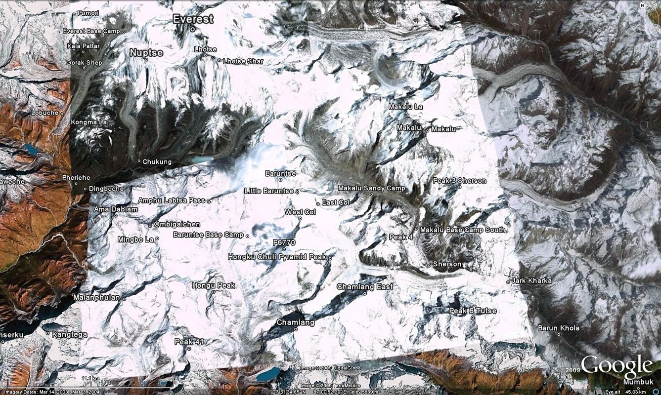


0 2 Google Earth Image Of Makalu Trek From Mumbuk To Makalu Base Camp South, Makalu Sandy Camp, East Col, and West Col [2 of 37]
Here is a Google Earth image of the second part of the Makalu trek from Mumbuk (3500m) down to the Barun Khola (3200m) and up the Barun Valley to Jark Kharka (4210m), Sherson (4660m) with the first views of Makalu, and Makalu Base Camp South (4850m). The trail then turns northwest and climbs the valley on the west side of the Barun Glacier to Makalu Sandy Camp (5300m), and then turns to the west to the East Col 6135m) and West Col (6143m) before descending to Baruntse Base Camp (5450m).
